TOURS CUSTOM MADE FOR YOU
|
What are your interests? Would you like to see Basel's historic heart, explore its 19th c. neighbourhoods or have a look at contemporary architecture?
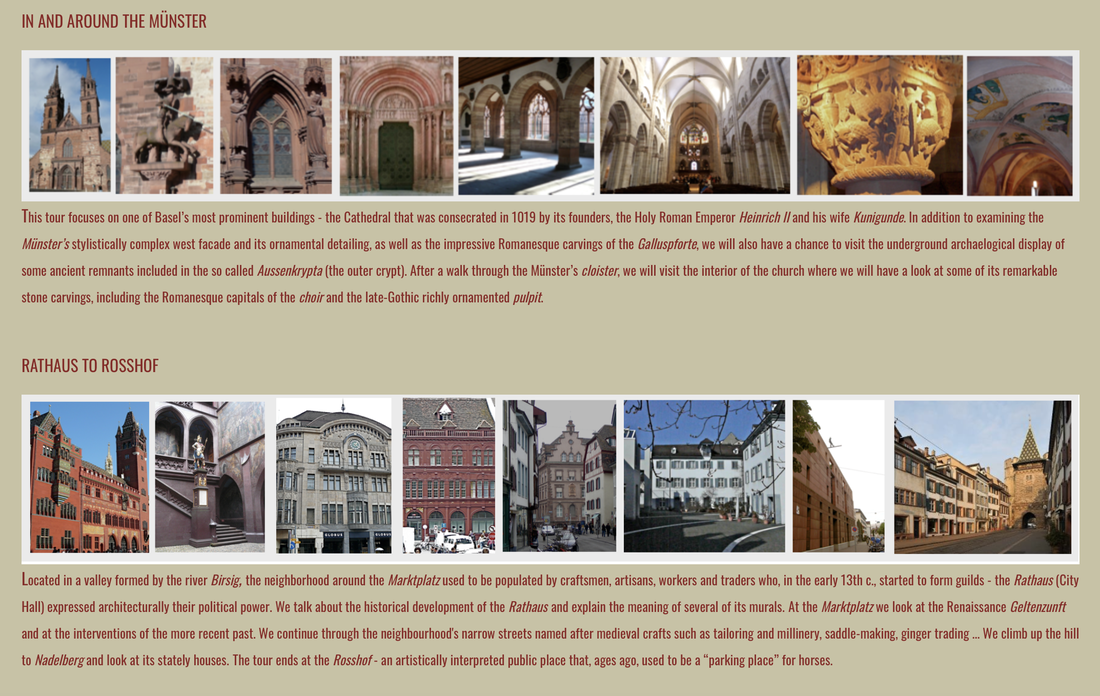
Here are some ideas - guided tours of the Münster and its historical surroundings, the Rathaus and the neighbourhood of medieval craftsmen, architecture on water canals in St.Alban-Tal, Jugendstil houses of the Paulus quarter, new architecture in the vicinity of the SBB train station, redevelopment of the formerly industrial Dreispitz area ... there are so many places and spaces, all over Basel, well worth your time! Contact [email protected] to discuss possible itineraries! Art Basel 2024ARCHITECTURE TOURS OF THE CITY
ONE-HOUR ARCHITECTURE TOURS
If you do not have time to explore other parts of Basel, why not learn more about some of the neighbourhoods in which Art Basel and its satellite events take place? MESSEPLATZ / CLARASTRASSE / REBGASSE
Art Basel / Art Parcours / Liste / ArtMeta KLYBECK
Volta To find out more and/or organise your own tour, contact [email protected]t
|
ON THE CITY OUTSKIRTS:
BRUDERHOLZ
Separating the Birs and Birsig valleys, the Bruderholz uplands belong geographically to the southeastern part of the Sundgau hills. About two kilometres wide and five kilometres long, this gently undulating area rises to more than 100 meters above the valleys. Politically, the area is shared by several Basel-Land communities and by the city of Basel, which started to develop the northernmost part of Bruderholz as a residential neighbourhood at the very beginning of the 20th century.
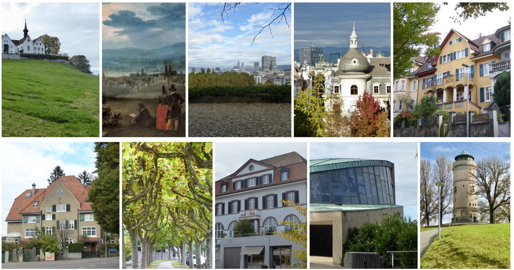
This 2-hour tour will take us up the slopes extending southwards of the Gundeldingen neighbourhood, through the gently undulating Bruderholz uplands.
Our meeting point will be on the terrace in front of the Margarethenkirche from where we will have a good view of the city's skyline. During a short stroll through the large public park laid out in the late 19th c. on the grounds of an earlier ornamental farm, we will talk about the area's 14th / 15th c. water castles as well as about the later development of the Gundeldingen neighbourhood.
Turning onto Unterer Batterieweg we will continue uphill along winding residential streets characterised by early 20th century houses typical of the so-called Reform Architektur - laid out amidst large green areas, they bear witness to the first stages of the development of the Bruderholz neighbourhood.
Our walk will continue along Bruderholz-Allee - we will discuss its representational character and the typology of housing dating from various time periods.
In addition to seeing some examples of Modernism, including sacral architecture of the late 1950s and the early 1960s, exemplified by the Bruder Klaus- and Tituskirche, we will also address the importance of the water-supply infrastructure. The first reservoirs and filters built in the area date back to the first decade of the 20th century. Later on a water tower had to be built so as to meet the water demand of the area’s growing population. Visible from afar, the Bruderholz Wasserturm, built in 1926, has become the area’s landmark. Our tour will end on the observation platform at the top of the tower, with a bird’s-eye-view of the city and its surroundings.
BASEL AND ITS INNER GROWTH: NEIGHBOURHOODS IN TRANSITION
On the verge of a growth spurt: 113 hectares of opportunity
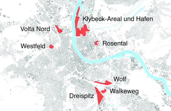
Basel plans on growing substantially until 2035. The number of inhabitants is to increase by 20,000, the number of jobs by 30,000. The eight areas Westfeld, Rosental Mitte, Volta Nord, Walkeweg, Dreispitz Nord, Wolf, Klybeckplus as well as Klybeck- and Westquai offer room for such development. A total of 113 hectares, or around 160 football pitches, are available.
Our Spring and Summer series of guided walks will explore areas undergoing the process of transition: from the underused industrial sites of the past to the newly planned, lively neighbourhoods of the future.
To find out more, contact [email protected]
© 2024 architecture walks and talks


